Geospatial Python Tutorial

Learn the most popular geospatial python libraries such as shapely, geopandas and rasterio, with this hands-on, detailed tutorial.
What is Geospatial?
The term Geospatial has been introduced to bring together various closely related fields such as Spatial Analyics, Geographic Information Systems (GIS), Remote Sensing, and others. In particular, the term geospatial is used whenever software development is involved.
Spatial data, in turn, usually appears in relation with:
- Location: real estate, trucks, etc
- Weather
- Geographic areas
- Paths between points
- Mobility
Acquiring spatial data skills is essential to any developer or data scientist working in an industry where these kind of features are significant.
Geospatial Libraries in Python
There are many libraries to work with geospatial information in Python. We intend to cover the most popular ones in this tutorial series.
We start from the basic objects: points and polygons. How to create them, and manipulate them using the Shapely and Geopandas libraries.
We move on to Geometric operations: how to efficiently find intersections, and compute distances.
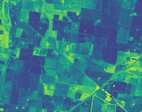
We then discuss raster data: how to access satellite images, and how to process that kind of massive dataset efficiently.
Stay tuned!
You might have noticed that the left-hand menu contains only a few chapters. This is an ongoing series of tutorials, and new content will be added periodically.
If you don’t want to miss any updates, consider subscribing to the mailing list. It is only one e-mail per month, with links to the latests posts!